Welcome
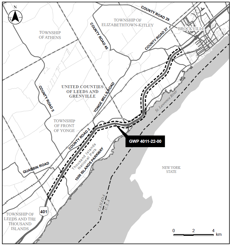
Welcome to the Highway 401 Planning Study from Mallorytown to Brockville in the United Counties of Leeds and Grenville. The Ontario Ministry of Transportation (MTO) has retained Stantec Consulting Ltd. to undertake a Preliminary Design, and Class Environmental Assessment (Class EA) Study on Highway 401 for the replacement and rehabilitation of bridges and culverts, interchange modifications, and identifying the future Highway 401 footprint for an interim six lanes and ultimate eight lanes, from 2.8 km west of Mallorytown Road Interchange to 2.1 km west of Stewart Boulevard interchange (approximately 21.6 km).
Click here for zoomed-in version of map
About the Project
The purpose of the study is to identify a Recommended Plan that addresses current and future transportation needs in the study area as part of the Ministry’s ongoing review of safety and operational needs for the provincial highway network.
This Preliminary Design and Class Environmental Assessment (Class EA) Study on Highway 401 includes identifying and developing a plan for the replacement and rehabilitation of bridges and culverts, interchange modifications, and identifying the future Highway 401 footprint for an interim six lanes and ultimate eight lanes, from 2.8 km west of Mallorytown Road Interchange to 2.1 km west of Stewart Boulevard interchange (approximately 21.6 km).
Structures and interchanges within this study include:
- Mallorytown Road Bridge
- Culvert (2.2 km east of Mallorytown Road)
- Jones Creek Culvert (West and East Branch)
- Sherwood Springs Bridge
- Crystal Beach Bridge
- County Road 2 Bridge
- Culvert (1.1 km west of Lyn Rd, Brockville)
- CNR Bridge
- Lyn Road Bridge
The study also includes:
- Developing and evaluating alternatives
- Identifying appropriate improvements
- Determining potential impacts
- Outlining environmental protection/mitigation measures
A Recommended Plan will be confirmed and designated (protected) at the completion of the study.